Disaster & Crisis Management
The main triggers and drivers of currently occurring disasters are induced and intensified by the effects of climate change (e.g. flood, storms and wildfires), are natural disasters (e.g. earthquakes), or human-made disasters (e.g. industrial accidents). It is the main focus of emergency management and disaster risk reduction activities to prevent damages and reduce these to a minimum. Activities focus
- to identify areas of high risk,
- to identify preventive actions and establish related measures,
- to mitigate and reduce potential damage,
- to organise fast and targeted crisis support, and
- to implement fast and effective recovery and reconstruction actions.
To minimise the effects of disasters on live and livelihood, the United Nations approved the Agenda 2030 in 2015 with its 17 Sustainable Development Goals (SDGs). Those goals and the related Agenda are a plan of action for people, planet and prosperity. They exemplarily define indicators and measures towards Climate Actions preventing climate change (SDG 13), Sustainable design of Cities and Communities (SDG 11) as well as the Sustainable use of Land- and Water ecosystems (SDG 15, SDG 16).
.
We support effective disaster and crisis management - in Europe and worldwide.
This is done in particular through the Copernicus Emergency Management Service (CEMS) within the Copernicus programme and through Union Civil Protection Mechanism (UCPM) programmes.
CEMS - Copernicus Emergency Management Service*
* The Service in Detail: Copernicus Emergency Management Service
This Copernicus services support disaster and crisis management authorities and organisations in the coordination and management of natural hazards such as (flash) flood, forest fire, drought, earthquake, erosion and landslide, or volcanic eruption. CEMS further focuses on human-made disasters (e.g. transportation accidents) or humanitarian crises (e.g. refugee movements, reconstruction monitoring).
The early warning and monitoring component provides real-time information on selected topics: forest fires, short-term forecasts on floods and a monitoring and early warning system related to drought across Europe and globally.
The on-demand mapping component supports participating actors with highly up-to-date and accurate geo-information in the event of a disaster.
IABG supports CEMS in the mapping component, covering all phases of the crisis management cycle. The implementation is based on the two service levels
Rapid Mapping
The 24/7 Service to support emergency management activities and actions during or immediately after an event.
Risk & Recovery Mapping
Support to disaster management activities, including the phases of prevention, preparedness, risk reduction and recovery.

Please find our article "IABG unterstützt CEMS-Dienst", as published in Business Geomatics 02/2022 (German language only).
Union Civil Protection Mechanism (UCPM)
Disasters are not bound to borders and it is not uncommon that events affect several countries. The aim of the EU Civil Protection Mechanism is to strengthen the cooperation between the EU and its single Member States and to facilitate the coordination of measures. This applies equally to preventive and reactive measures since only a common and pan-European approach leads to efficient actions.
Activations are manifold, and are triggered in very different context, e.g. in connection to the Ukraine conflict, forest fires in Europe, the COVID crisis as well due to various flood events. In 2022 alone, the mechanism was activated a total of 106 times.
In the context of UCPM, co-funded by DG European Civil Protection and Humanitarian Aid Operations (ECHO), IABG has initiated and successfully implemented prevention projects in EU neighbouring countries, shown with the following examples:
ARIMA | Marocco
Pilot and demonstrator project (co-funded by the European Union):
- Implementation of a multi-risk analysis related to multiple natural hazards (flood, erosion, drought)
- Development & implementation of a GIS database
- Development & implementation of a web-based information system for stakeholders in the Marrakech-Safi Region/ Morocco
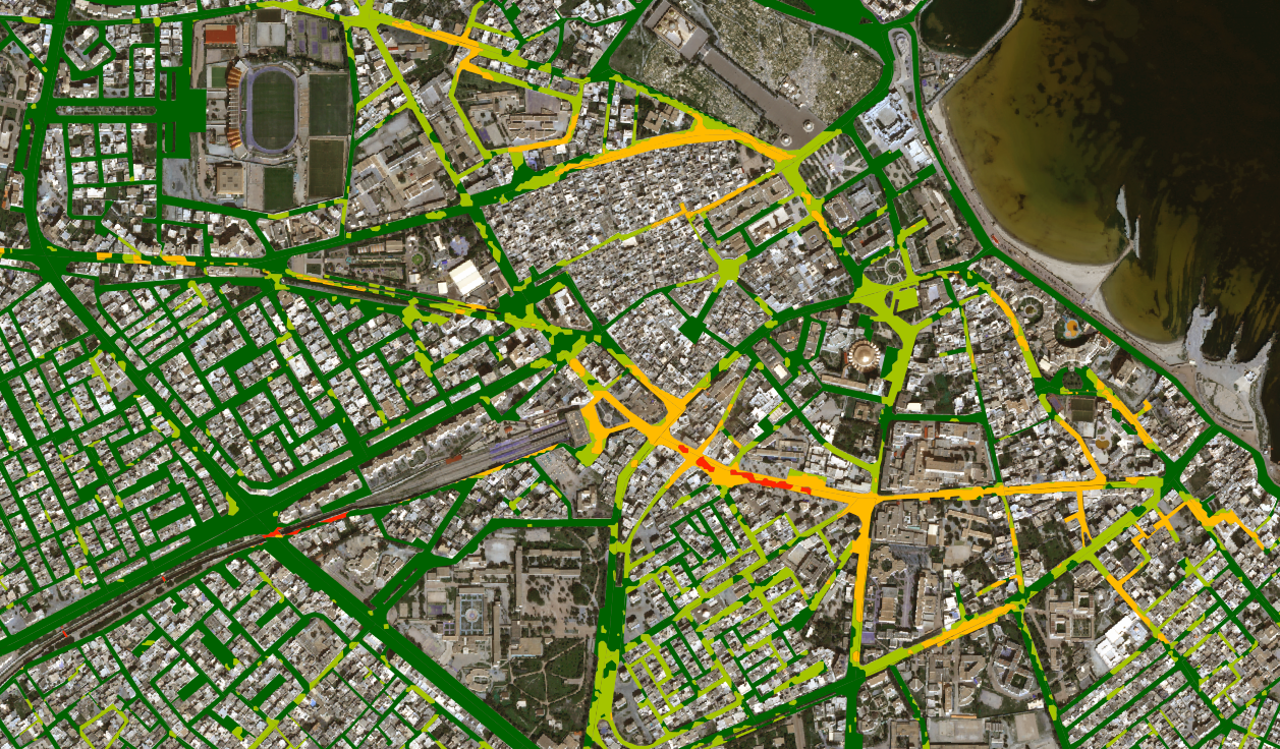
UDRASP | Tunisia
Pilot and demonstrator project (co-funded by the European Union):
- Strengthening the resilience of cities related to natural disasters
- Improving the prevention and resilience towards disasters
- Developing a standardised process to provide information on urban growth and disaster risk trends in the pilot area
At national level, IABG Geospatial & Environmental Services work in close cooperation with other departments by supporting and providing geoinformation, e.g.
TT-GSAT
Establishment of a test and training centre for a geo-information and satellite-based rescue service (TT-GSAT).