Aerial Imagery Analysis and Historical Investigation
Historical aerial photographs and archival records provide important evidence as to whether an area may be contaminated by unexploded ordnance (UXO) dating from the Second World War.
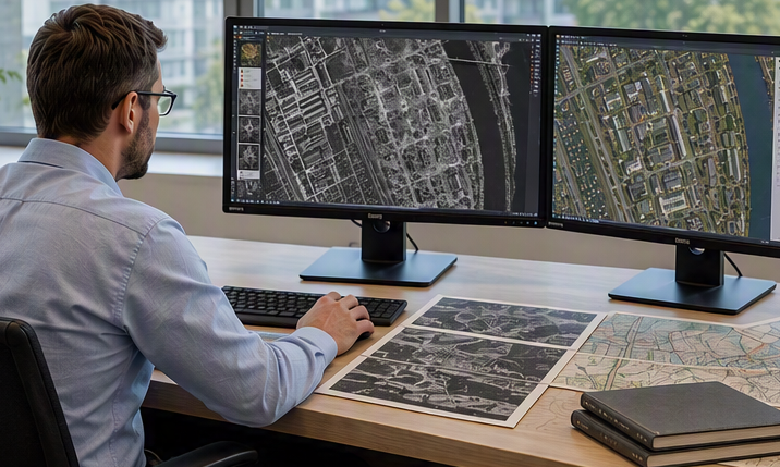
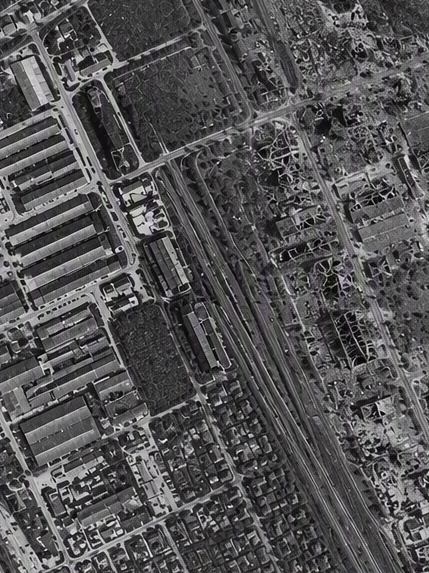
In accordance with the German Guidelines for Explosive Ordnance Clearance (BFR KMR), our aerial imagery analysts research relevant records held in German and international archives. Historical aerial photographs taken by Allied forces are analysed on a multi-temporal basis, comparing imagery from different points in time.
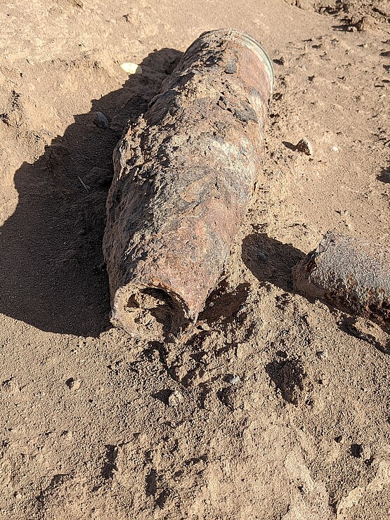
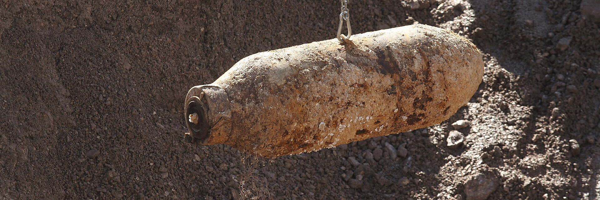
We map and assess UXO-relevant features and structures, such as former military installations, ruins, demolition and fire sites, backfilled pits, bomb craters and suspected unexploded bomb locations.
Our services:
- Archival and records research
- Research and procurement of historical aerial imagery
- Multi-temporal aerial imagery analysis
- Mapping of UXO-relevant features and structures
- Assessment of areas suspected of UXO contamination
- Findings report including maps and recommendations for further action
The results provide you with a documented basis for deciding whether further investigation is required and, if so, to what extent.