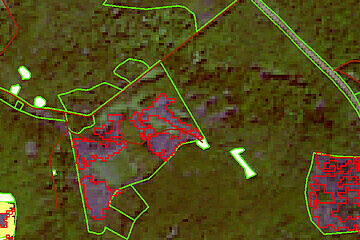
Analyses for the Forest of Tomorrow
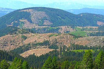
Increasing open spaces caused by damage can lead to greater soil erosion. Prevent this by conducting:
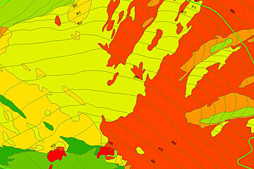
- Risk analyses (e.g. potential landslide areas, flooding, forest fires)
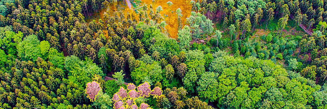
- Damage analyses/post-disaster assessments (e.g. determining the extent of damage and emergency response)
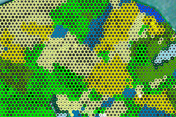
- Vitality analyses
- Scrub encroachment analyses
With our remote sensing analyses, you can recognize and respond early to potential stress factors and natural hazards:
