
Solar energy
Many of these sites have large, open areas that are ideal for the installation of solar systems. With clever planning, these systems can also serve as (additional) security measures.
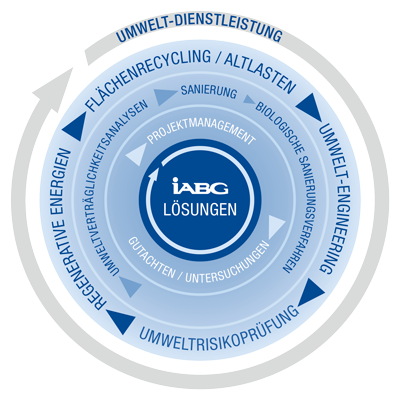
In the environmental sector, we offer the full range of consulting and investigation services.
These primarily include services in the areas of
We develop sustainable and economical solutions, especially for complex environmental projects. Our experts plan and implement the revitalization of industrial and military brownfield sites where the contamination and/or explosive ordnance problem represents the greatest obstacle to subsequent use.
When developing innovative solutions for the subsequent use of formerly contaminated sites, we take into account locally designed, technical systems for alternative energies in order to remediate contamination in the soil and groundwater.
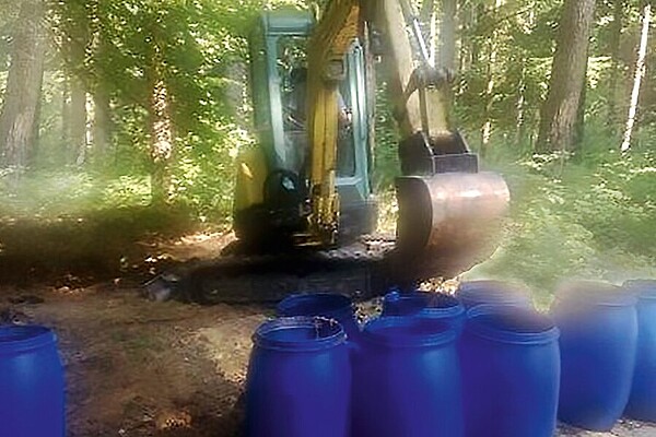
Sites formerly used for military, industrial or commercial purposes ("contaminated sites") often still pose a risk to people and the environment today. In any case, contaminated sites represent a serious obstacle to the subsequent use of these areas.
In particular, old military and armaments sites such as production facilities, ammunition plants, facilities for the disposal of explosive ordnance, blasting and bombing sites, etc. are - in addition to conventional pollutants - contaminated with compounds typical of explosives and chemical warfare agents as well as their degradation products. We support owners of sites in their investigation, remediation and subsequent use through
The conversion and redevelopment of formerly contaminated sites for the use of renewable energies offers an outstanding opportunity to make sensible use of derelict land and at the same time accelerate the transition to clean energy. Various approaches and options are available:
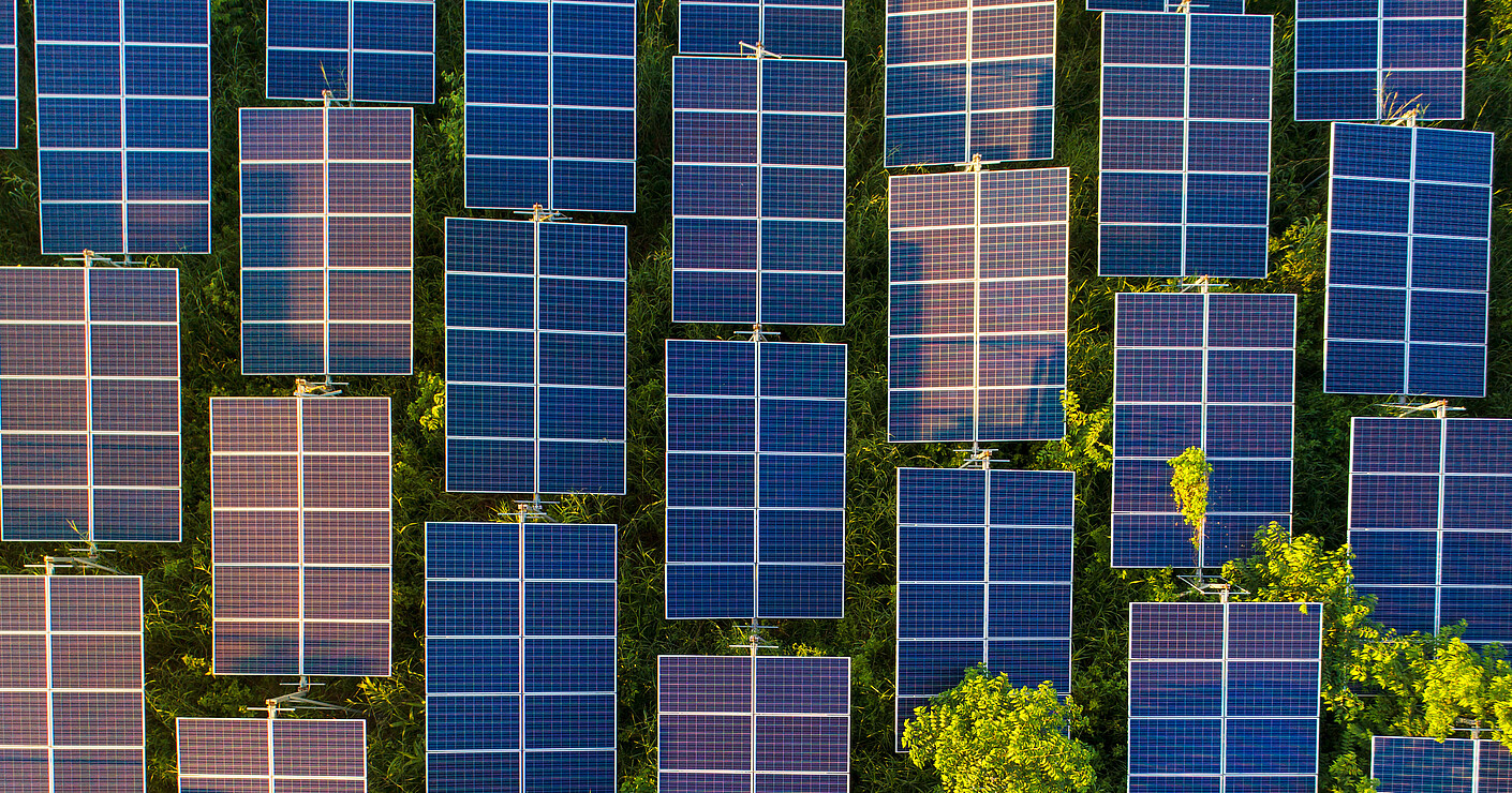
Many of these sites have large, open areas that are ideal for the installation of solar systems. With clever planning, these systems can also serve as (additional) security measures.

Sites with sufficient wind resources offer perfect conditions for the installation of wind turbines to generate wind energy. Former contaminated sites are particularly attractive for this, as they are often located in sparsely populated areas. Wind turbines also only require a small area capacity and the costs for site preparation are comparatively low.
The environmental impact analysis (EIA) is the central basis for realizing the environmental protection element of a project. It covers the entire life cycle of the product, from project planning and use through to disposal. The EIA shows which environmental impacts are to be expected and where there are opportunities to reduce or avoid them. Additional investigation is then required if further unclear environmental impacts are suspected.
In principle, the UVA breaks down the product into assemblies, sub-assemblies and these in turn into parts. In general, the data is recorded down to the part code level. If this is not feasible or useful, a restriction is made to the smallest coherent unit, the so-called easily exchangeable unit (LAE).
For the individual components of the product, it is determined for which media (soil, water, air) there is an environmental hazard potential. These parts are named and documented. It is then considered whether measures to protect the environment have been taken or still need to be taken. With regard to the environment and media, the main points are
are examined and a list of hazardous substances and a disposal concept for the product are drawn up on this basis.
Our services
Please fill in the form and we will get in touch with you as soon as possible.